Saturday, May 10, 2025
📝 Day's Highlights
• The Mary Valley
• Rainbow Beach
Today was a day of driving. After breakfast, I set out to look for a walk in the woods. I had checked the map from the tourist information centre and picked on Imbil State Forest for a walk. Google Maps helpfully pointed the way there, so I was good to go (I thought).
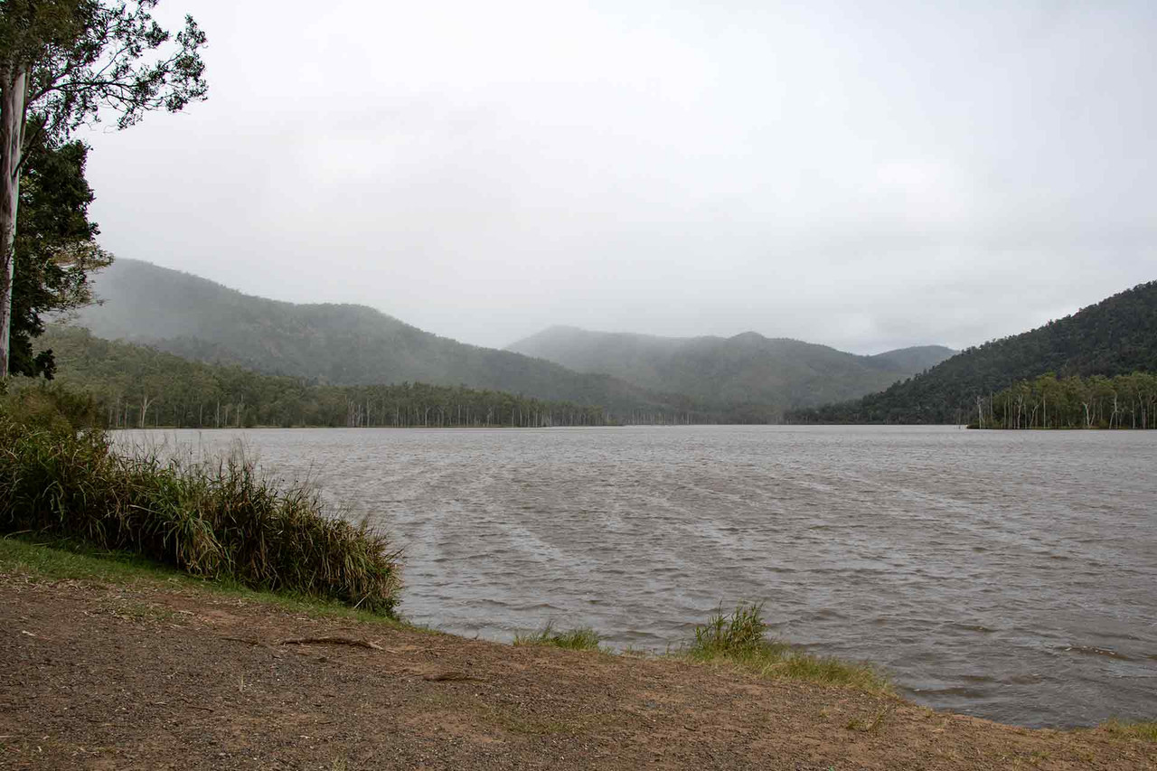
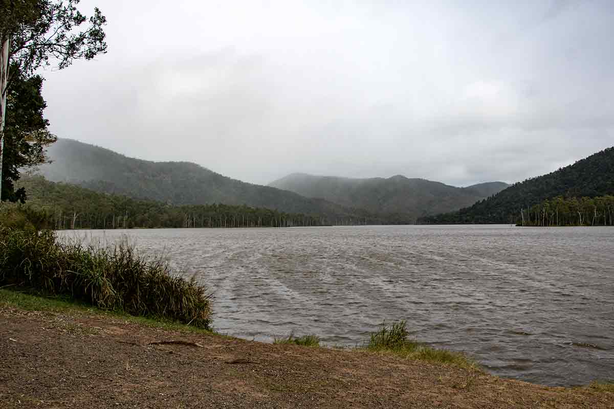
While Google Maps has been a great help to me during my travels, sometimes it can be too helpful. When I was lost in Sydney Botanical Gardens it helped that all the paths had been digitized. In the Mary Valley, the roads were digitized even when they were not sealed. I trust the car, but with little experience of Australian dirt roads, the rain falling and not knowing the states of the creeks, I thought it best to stick to tarmac. I tried two or three times, only to be thwarted. After a break at Amamoor, I ended up at Borumba Lake.
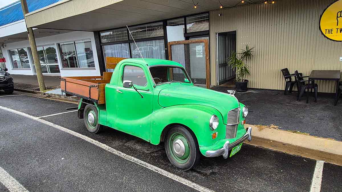
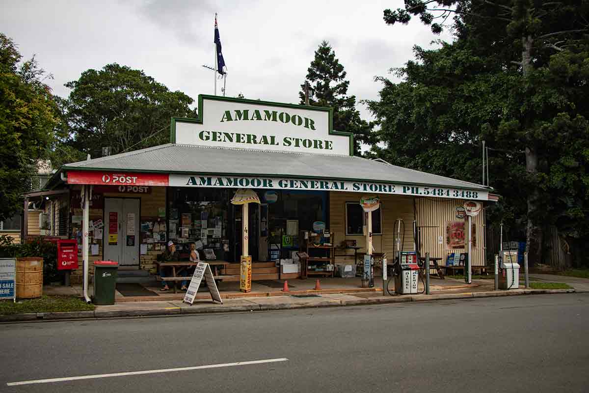
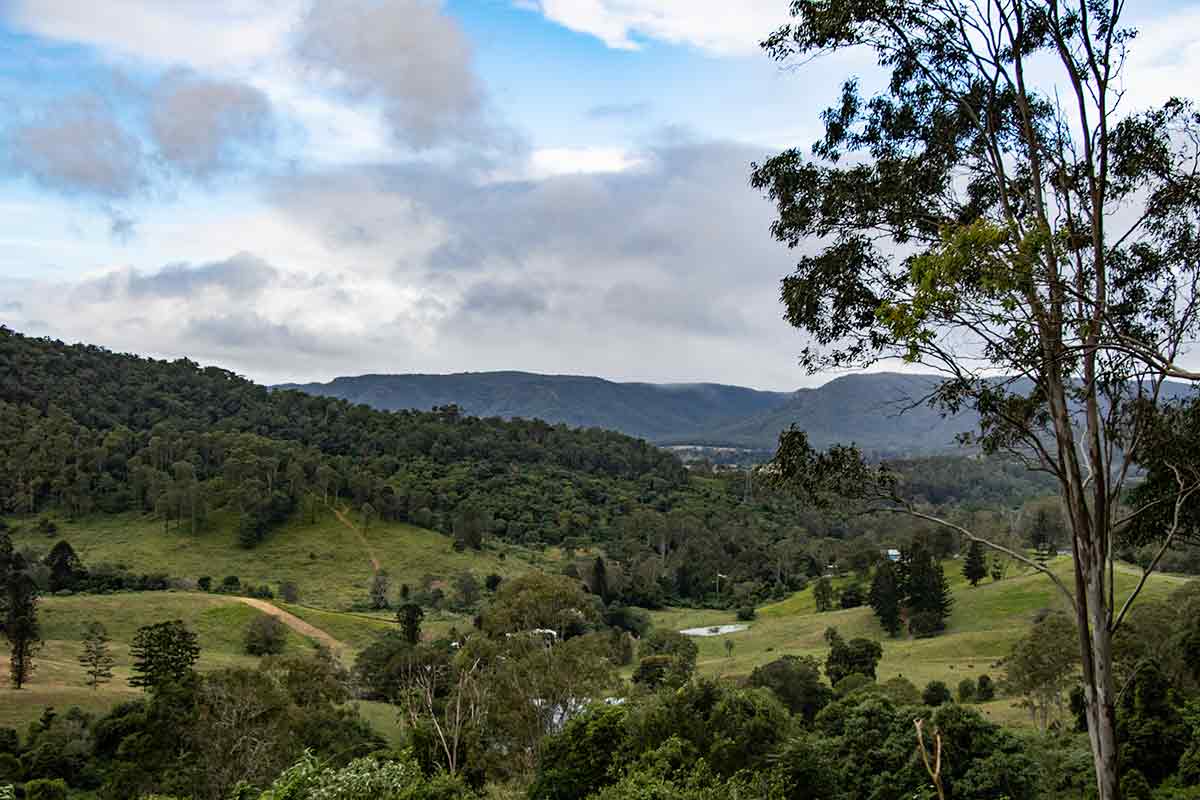
In the Mary Valley
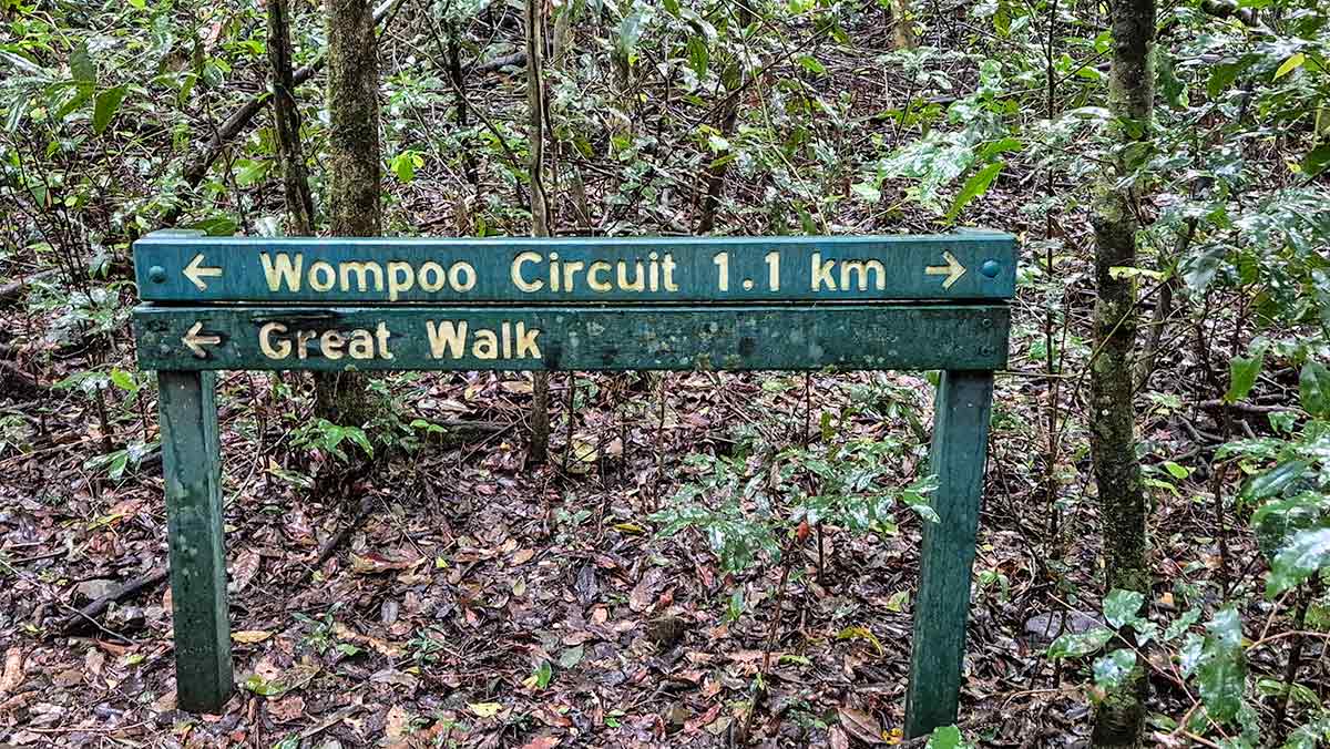
Wompoo Trail sign
In the end, I went to Kenilworth to get more information. The lady there was very helpful, and I decided to go to Mapleton Falls. The drive was not too far, and I did the Wompoo Circuit through the forest (does that make me a Wompoo-lumper?). Then back to Kenilworth for bangers and mash.
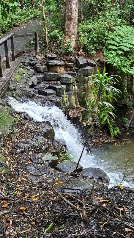
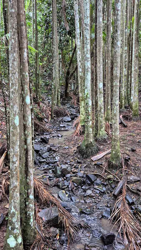
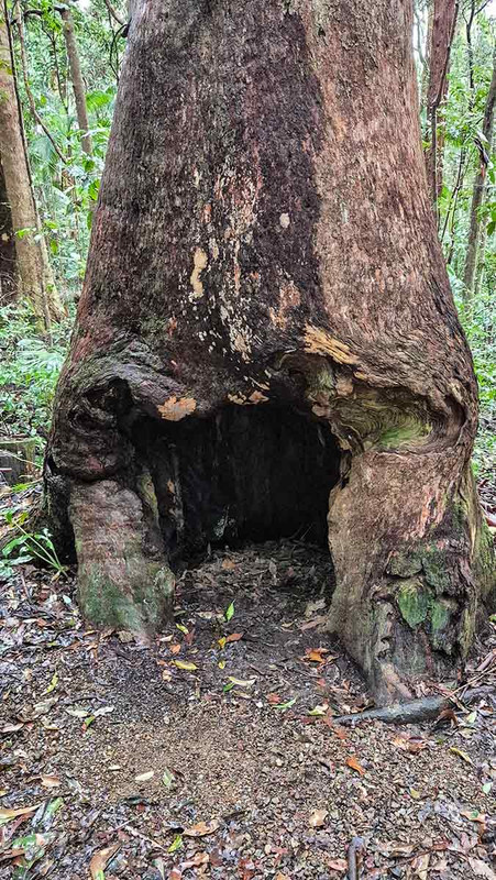
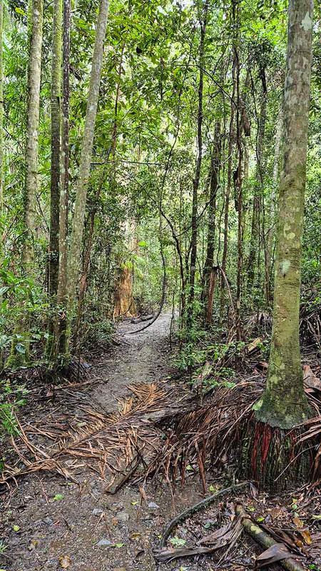
On the Wompoo Trail
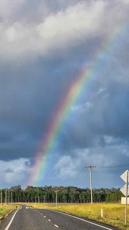
On the road to Rainbow Beach
I headed back towards Gympie, but it was only mid-afternoon. Rather than go back to the hotel, I turned the wagon towards Tin Can Bay (nothing to do with tin cans according to Wikipedia). On the way, there was a turn to Rainbow Beach, so I followed it. This led me to the coast. (Tin Can Bay is on an inlet). The last time I was at the beach was 47 days ago in Adelaide – how time has flown!
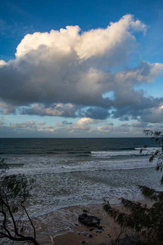
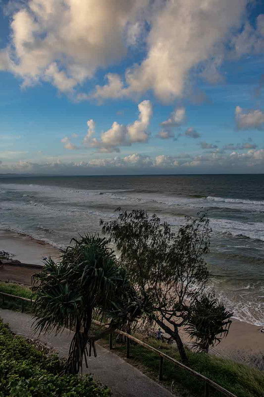
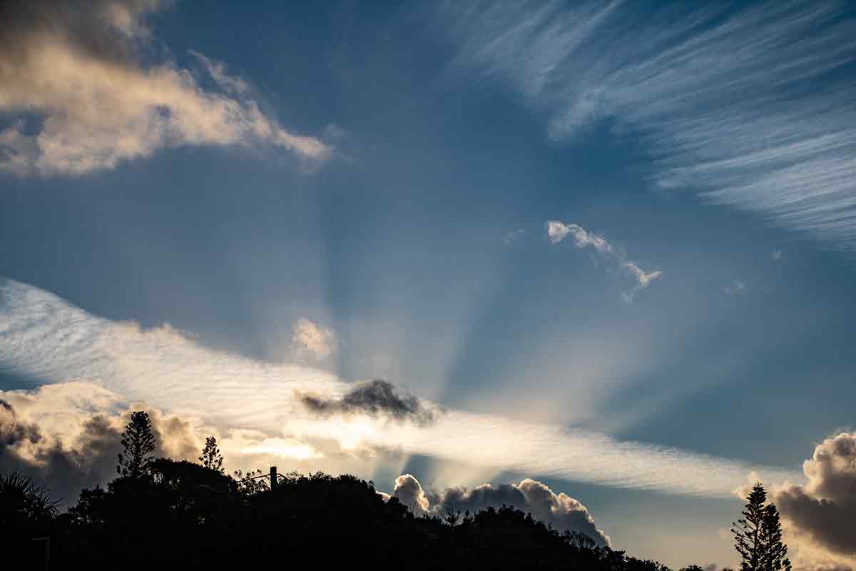
Evening skies at Rainbow Beach
Driving back was my first (and probably last) time driving in the dark – I am glad to say that I didn’t hit any wildlife.
🚗 Distance driven : 355km.